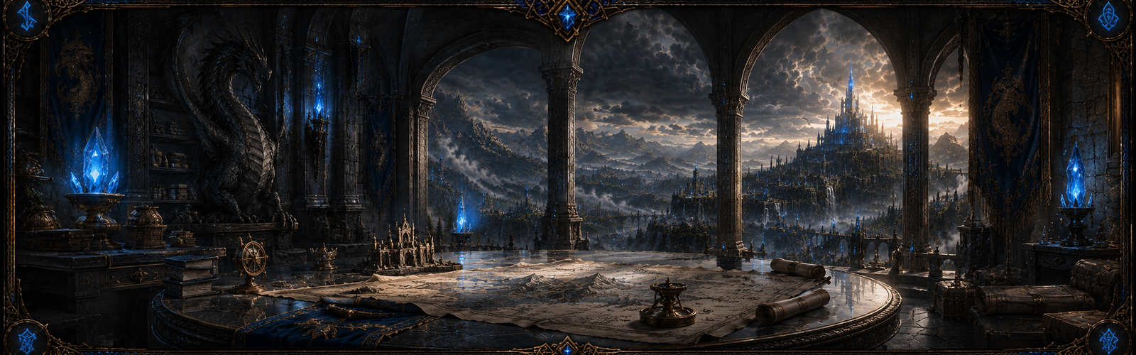
The Heartlands • Treaty hall
Oathstone Hall
The treaty hall in Codexis, where kingdoms' oaths are sworn and kept.
Codexis
Open landmark archive →The Heartlands and Kairyu • Inland sea
The Syllogian Expanse
The great inland sea of the east, bordered by the Heartlands' shore at Tidemark and Kairyu's Ginsui Marsh.
East of the Heartlands
Open landmark archive →Veridia • Lake
Sunfield Lake
A lake in the Golden Fields, fed by the Goldbrook.
The Golden Fields
Open landmark archive →Kryonost • Glacier
The Frostfire Glacier
Living ice of about 40 km², the source of the northern rivers; the Shirakawa rises at its edge.
North-east, beside the Ice Wyrm Lair
Open landmark archive →Kryonost • Dragon lair
The Ice Wyrm Lair
Valithrax's lair, high in the peaks across the glacier.
Far north-east
Open landmark archive →Kairyu • Dragon lair
The sea-stack spire
Syllogis's lair, off the eastern cliffs, reached by a crumbling path at low tide or by boat.
The Arashi Coast
Open landmark archive →Morvath • Dragon lair
The blighted chasm
Nihiloth's lair, a long descent deep in the Shadowfen.
The Shadowfen
Open landmark archive →Ignis Hold • Dragon lair
Khaovore's Eye
The Red dragon's lair, in the crater of a volcano inside the Verdanthorn Jungle.
The south-west coast
Open landmark archive →Veridia • Dragon lair
Treant's Fist
Emerantia's lair, a crag deep in the ancient forest.
The Ember Wilds
Open landmark archive →The Ashen Wastes • Frontier town
Lastwell
The last reliable well before the open desert.
The Wastes' edge
Open landmark archive →The Ashen Wastes • Crater
The fallen star
Where starsteel falls: the richest and most dangerous ground in the world.
The heart of the Wastes
Open landmark archive →Morvath • Island
Carrion Reach
An island of about 42 km² off Morvath's coast, reached by ferry only.
Off the south-east coast
Open landmark archive →Morvath • Fortress
Northgate
The fortress pass that guards Morvath's road from the Heartlands.
Morvath's north-west border
Open landmark archive →The Heartlands • Region
The Crossroads Plains
The most traversable ground in the world, where the trunk roads meet.
The centre
Open landmark archive →Kryonost • Mountains
The Frostfire Peaks
The northern range, 800-1,500 m, with the Crownpeak Mountains around Crownspire: the barrier that makes passes matter.
The north
Open landmark archive →Kryonost • Region
The Tundra Plain
Vast, flat, exposed and deliberately empty.
The north
Open landmark archive →Veridia • Farmland
The Golden Fields
Veridia's farmland, where golden wheat grows.
The centre-west
Open landmark archive →Veridia • Forest
The Ember Wilds
Old conifer forest down the western coast, burned at its south by the volcano.
The west coast
Open landmark archive →Ignis Hold • Volcano
The Cinderheart Mountains and Cinderfall
The volcano Cinderfall (about 1,480 m) and its lower vent in the Cinderheart range.
The south-west
Open landmark archive →Ignis Hold • Region
The Ashfang Barrens
Uninhabited lava and ash between Ignis Hold's valleys, with a volcanic field and a chain of craters.
Around Ignis Hold
Open landmark archive →Ignis Hold • Jungle
The Verdanthorn Jungle
Rainforest along the whole south-west coast, with Khaovore's Eye inside it.
The south-west coast
Open landmark archive →Morvath • Region
The Shadowfen
A drowned forest cut by channels, where the southern rivers stagnate.
The south-east
Open landmark archive →Kairyu • Coast
The Arashi Coast
A 2 km band of cliffs, bays and harbours down Kairyu's eastern shore.
The east coast
Open landmark archive →Kairyu • Marsh
Ginsui Marsh
The north-east shore of the Expanse, where Kairyu's rivers reach the inland sea.
Between Ranshu and Kuromon
Open landmark archive →Ignis Hold • Port
Ashport
Ignis Hold's port on the south coast, where the Emberflow reaches the sea.
The south coast
Open landmark archive →Morvath • Port
Plagueport
Morvath's port, at the Fenwater's mouth.
The south-east coast
Open landmark archive →Dungeon • Dungeon
The Catacombs of the Fallen
Tombs beneath the world, and the Fallen who rule them.
Underground
Open landmark archive →Dungeon • Dungeon
Thornwarden's Lair
The Thornwarden's overgrown hold.
Underground
Open landmark archive →Ignis Hold • River
The Ashrill
7 km of river, reaching a lake.
Mouth near 19, 13 km
Open landmark archive →Ignis Hold • River
The Cinderwater
8 km of river, reaching the sea.
Mouth near 21, 5 km
Open landmark archive →The Heartlands • River
The Crownwater
18 km of river, reaching the sea.
Mouth near 41, 24 km
Open landmark archive →The Ashen Wastes • River
The Emberflow
21 km of river, reaching the sea.
Mouth near 34, 3 km
Open landmark archive →Morvath • River
The Fenwater
26 km of river, reaching the sea.
Mouth near 48, 4 km
Open landmark archive →Morvath • River
The Gallowbrook
3 km of river, reaching the sea.
Mouth near 60, 6 km
Open landmark archive →Veridia • River
The Goldbrook
8 km of river, reaching a lake.
Mouth near 28, 26 km
Open landmark archive →Morvath • River
The Grimwater
6 km of river, reaching the sea.
Mouth near 59, 12 km
Open landmark archive →Kairyu • River
The Hailrun
20 km of river, reaching a lake.
Mouth near 54, 44 km
Open landmark archive →Kryonost • Frozen river
The Icevein
19 km of river (ice on top, water running beneath), reaching a lake.
Mouth near 29, 39 km
Open landmark archive →Kairyu • River
The Midorikawa
25 km of river, reaching the sea.
Mouth near 54, 28 km
Open landmark archive →Morvath • River
The Mirewater
6 km of river, reaching the sea.
Mouth near 51, 1 km
Open landmark archive →Kryonost • River
The Rimeflow
8 km of river, reaching the sea.
Mouth near 21, 52 km
Open landmark archive →The Heartlands • River
The Rootwater
15 km of river, reaching the sea.
Mouth near 40, 29 km
Open landmark archive →Kairyu • River
The Serpentine
20 km of river, reaching the sea.
Mouth near 71, 24 km
Open landmark archive →Kairyu • River
The Shirakawa
23 km of river, reaching the sea.
Mouth near 51, 31 km
Open landmark archive →Kryonost • River
The Stonerun
3 km of river, reaching a lake.
Mouth near 52, 52 km
Open landmark archive →Kairyu • River
The Tatsukawa
42 km of river, reaching the sea.
Mouth near 69, 33 km
Open landmark archive →Kryonost • River
The Valthorn Brook
2 km of river, reaching the sea.
Mouth near 19, 51 km
Open landmark archive →Kryonost • River
The Wildwater
39 km of river, reaching the sea.
Mouth near 8, 37 km
Open landmark archive →Kryonost • River
The Wyrmtail
4 km of river, reaching the sea.
Mouth near 66, 47 km
Open landmark archive →Kryonost • River
The Wyrmwater
15 km of river, reaching the sea.
Mouth near 69, 44 km
Open landmark archive →Kairyu • Lake
Lake Hyoga
Fed by The Hailrun; the water stands at 122 m.
53, 44 km
Open landmark archive →Kryonost • Frozen lake
Lake Ledyana
Fed by The Icevein; the water stands at 257 m.
29, 39 km
Open landmark archive →Veridia • Lake
Sunfield Lake
Fed by The Goldbrook; the water stands at 73 m.
28, 26 km
Open landmark archive →Ignis Hold • Lake
Lake Cinis
Fed by The Ashrill; the water stands at 803 m.
19, 13 km
Open landmark archive →Kryonost • Lake
Stoneward Lake
Fed by The Stonerun; the water stands at 234 m.
52, 52 km
Open landmark archive →Kryonost • Waterfall
Falls of the Wyrmtail (lower)
A sheer drop of 40 m.
63.8, 47.4 km
Open landmark archive →Kryonost • Waterfall
Falls of the Wyrmtail (upper)
A sheer drop of 40 m.
62.2, 48.4 km
Open landmark archive →Ignis Hold • Waterfall
Falls of the Cinderwater (lower)
A sheer drop of 40 m.
18.0, 7.9 km
Open landmark archive →Ignis Hold • Waterfall
Falls of the Cinderwater (upper)
A sheer drop of 31 m.
19.6, 8.3 km
Open landmark archive →Kryonost • Frozen waterfall
Falls of the Icevein
A sheer drop of 40 m, frozen.
34.7, 45.9 km
Open landmark archive →Kryonost • Waterfall
Falls of the Hailrun
A sheer drop of 38 m.
51.3, 49.0 km
Open landmark archive →Ignis Hold • Waterfall
Falls of the Ashrill
A sheer drop of 37 m.
19.5, 11.8 km
Open landmark archive →Kryonost • Waterfall
Falls of the Stonerun
A sheer drop of 40 m.
50.1, 51.0 km
Open landmark archive →Kryonost • Waterfall
Falls of the Rimeflow
A sheer drop of 24 m.
22.5, 51.3 km
Open landmark archive →